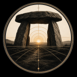
Legends & Cycles — Under the Megalith
“Civilizations pass. Structures remain. A structural reading of worlds, systems and cycles.”
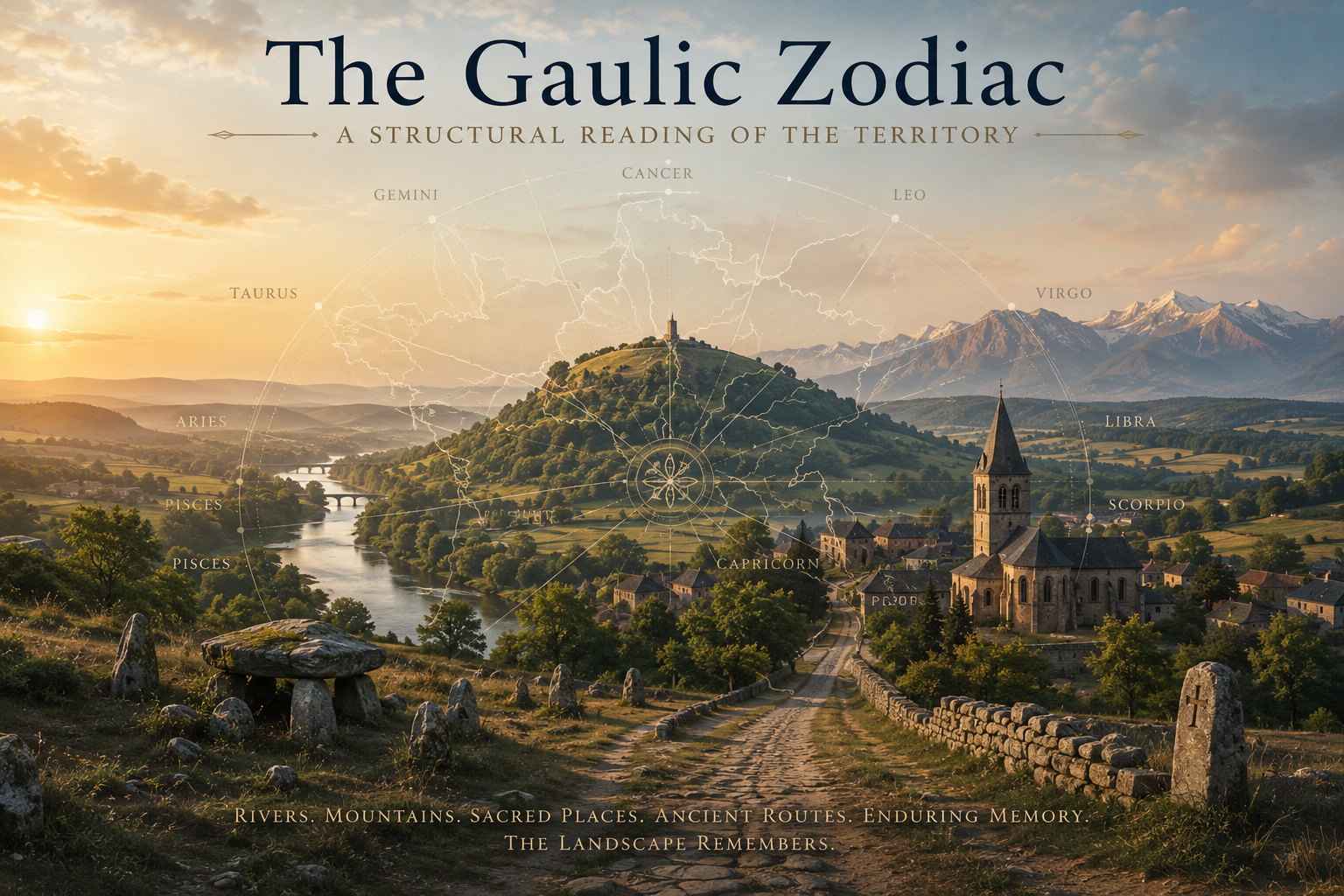
The Gaulic Zodiac — Seeing France as a Structured Territory
For most people, France is a country. For historians, it is often a succession of kingdoms, dynasties, provinces and political regimes. For geographers, it is a territory shaped by rivers, mountains, plains and coastlines.
But what if another layer exists beneath all of these? What if certain places continue to matter, not because of politics, but because of the structure of the territory itself? This question lies at the heart of The Gaulic Zodiac.
More Than a Zodiac
At first glance, the title may seem surprising. The word “zodiac” immediately evokes astrology, symbolism and ancient cosmologies.Yet the book is not an astrological manual.
It is an investigation into a remarkable territorial hypothesis first explored by French scholar Jean Richer and then extended through a much broader examination of landscapes, cities, rivers, mountains, pilgrimage routes and historical continuities.
The starting point is simple. Across Gaul, certain places repeatedly emerge as important:
• sacred mountains
• pilgrimage centers
• ancient capitals
• river crossings
• major sanctuaries
• strategic thresholds
These places often remain significant across entirely different civilizations. The names change. The religions change. The political systems change. Yet the places remain.
The Territory Beneath History
One of the most striking observations is that the same locations tend to be reoccupied over and over again.
A megalithic site becomes a Celtic sanctuary.
A Celtic sanctuary becomes a Roman temple.
A Roman temple becomes a church.
A church becomes a cathedral.
The visible culture changes.
The underlying geography does not.
Throughout the book, examples accumulate from Brittany to the Rhine, from the Loire Valley to the Alps, from the Pyrenees to the Channel coast. The result is not a collection of isolated curiosities. It is the outline of a territorial system.
Twelve Sectors
The central part of the book explores twelve major sectors distributed around a symbolic center. Each sector possesses its own geography, landscapes, historical trajectories, myths, saints, routes and cultural echoes.
Brittany and the Atlantic promontories.
The Loire corridor.
Aquitaine and the Pyrenean gateways.
The Mediterranean thresholds.
The Alpine world.
The Rhine frontier.
The northern pilgrimage routes.
The Channel gateways.
Viewed separately, each region appears unique.
Viewed together, they form a coherent whole.
Rivers, Mountains and Corridors
One of the key conclusions of the research is that the territory is organized not only by places but also by connections. Rivers structure circulation. Mountain passes organize movement. Pilgrimage routes link distant regions. Visibility systems connect peaks separated by hundreds of kilometres. The territory functions through flows as much as through centers. This perspective transforms familiar geography.
The Loire becomes more than a river.
The Alps become more than mountains.
The Pyrenees become more than a frontier.
They become structural elements within a larger territorial framework.
A Layered Landscape
The book proposes that Gaul can be understood through four major layers:
• Megalithic foundations
• Celtic structuring
• Roman integration
• Christian persistence
Each layer modifies the previous one without completely erasing it. The result is a landscape of extraordinary depth. The territory becomes a palimpsest where different civilizations leave traces upon the same framework.
Hypotheses and Questions
The Gaulic Zodiac does not claim to provide definitive answers. Instead, it explores a range of hypotheses. Some are relatively conservative.
Rivers, corridors, thresholds and strategic locations undeniably influence territorial organization. Others are more ambitious.
Distributed sacred networks.
Astronomical coding.
Large-scale symbolic geography.
Readers may accept some hypotheses and reject others. The important point is not agreement on every detail. The important point is the pattern that emerges. Again and again, geography appears to organize history.
The Territory Remembers
Perhaps the most important idea in the entire volume can be expressed in a single sentence: The territory remembers what history forgets. Political systems rise and fall. Borders shift. Languages evolve. Empires disappear.
Yet rivers continue to flow. Mountains continue to structure movement. Thresholds continue to channel exchanges.
Certain places continue to attract human attention across centuries and even millennia. Whether one accepts the zodiacal framework or not, this deeper continuity remains visible.
A Different Way of Seeing France
The Gaulic Zodiac ultimately invites readers to look at France differently. Not as a collection of administrative regions. Not as a sequence of historical events. Not even as a nation-state.
But as a structured territorial field shaped by long-duration relationships between landscapes, routes, centers and memory. The book does not seek to close a debate. It seeks to open one.
And perhaps, after turning the final page, readers will never look at the map of France in quite the same way again. The territory is older than its borders. And its memory runs deeper than its history.
Explore the Complete System
The Gaulic Zodiac is the most extensive volume published so far in the Symbolic Landscapes collection. Across more than 500 pages, it brings together rivers, mountains, sacred centers, pilgrimage routes, cities, myths and territorial structures into a single interpretative framework. Whether you are interested in geography, history, mythology, sacred landscapes, cultural memory or territorial organization, the book offers a unique perspective on one of Europe’s oldest and most enduring territorial fields.
The full volume includes:
✔ The complete study of the twelve sectors
✔ Hundreds of maps, diagrams and illustrations
✔ Sacred geography and symbolic landscapes
✔ Rivers, mountains and visibility systems
✔ Historical layers from megalithic times to the present
✔ The complete Gaul System Mandala
✔ The Territorial Projection Map of the Gaulic Zodiac
The journey begins with a simple question:
What if the territory itself possesses a deeper structure?
The answer unfolds across 504 pages.
👉 The Gaulic Zodiac — A Structural Reading of the Territory is now available in the Symbolic Landscapes collection.
Gaul Systems. A Structural Reading of Zodiacal Territorial Systems – Payhip
